01Wildfire Risk Score
A summary of structure, parcel, community, regional, and simulated wildfire impact indicators.
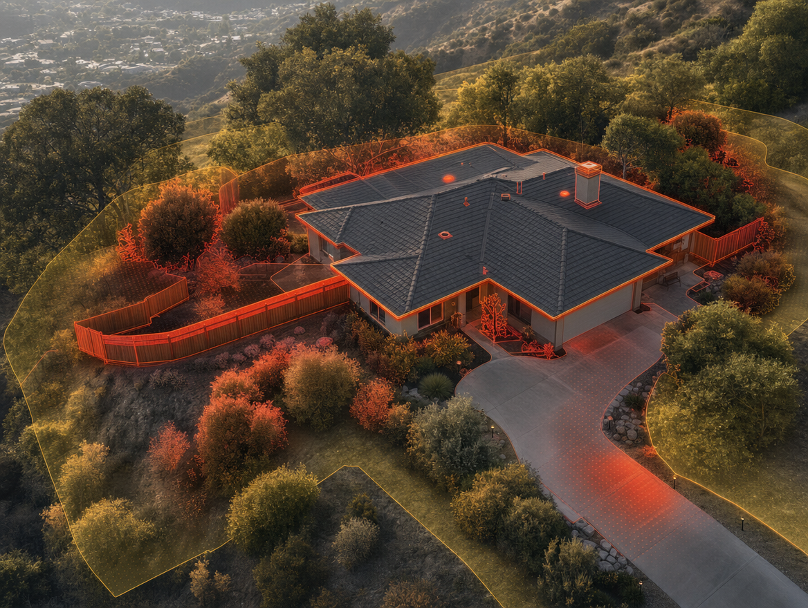
02Structure Indicators
Roof condition, roof material, roof debris, tree overhang, vents, skylights, and related structure data where available.
03Ember Potential
Community-level and property-adjacent indicators that may help explain ember-related concern.
04Defensible Space
Review of parcel conditions, vegetation patterns, density, slope, and near-home exposure indicators.
05Historical Exposure
Context around nearby fire history, wind region, drought frequency, and local wildfire pressure.
06Simulated Impact
Wildfire exposure, severity, suppression effort, and likely ignition path indicators.
07Mitigation Starting Points
Automated recommendations and follow-up guidance to help decide what to review first.
08Insurance-Relevant Context
Documentation-oriented insights that support better preparedness conversations without promising underwriting outcomes.